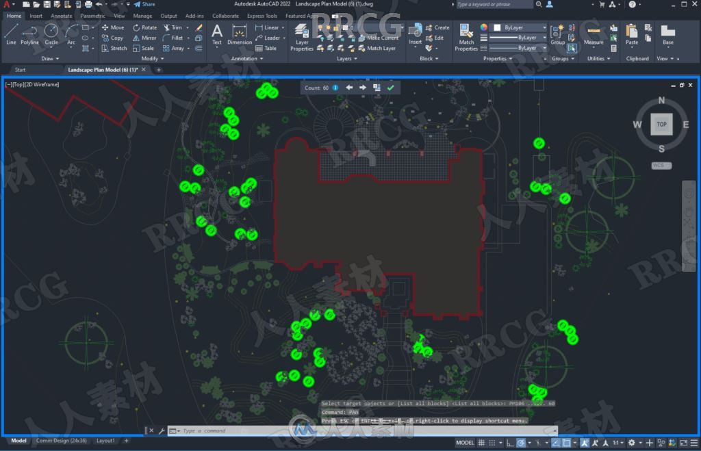
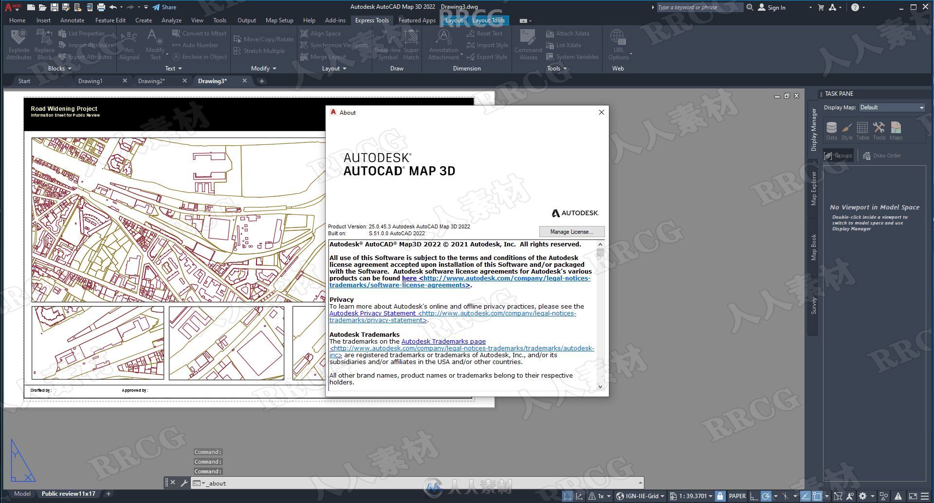
本软件是关于Autodesk AutoCAD Map 3D软件V2022版,大小:5.4 GB,支持Win64位系统,语言:英语。
AutoCAD Map 3D软件是一款基于模型的基础设施应用程序,能够以广泛的方式访问CAD和GIS数据,帮助GIS、规划和工程设计专业人士访问、评估和共享数据,从而制定明智的决策。
面向基于模型的基础设施规划和管理的AutoCAD Map 3D地图软件可帮助集成CAD和GIS数据,为GIS、规划和工程决策提供信息。借助智能的行业数据模型与工具,您可以应用地区或特定专业的标准。将空间信息集成到数据库中之后,整个组织都可使用数据,从而有助于提高质量、生产效率和资产管理。在基于AutoCAD的环境中工作,您可以:访问和编辑信息,集成和分析资产,有效地交流。


Data combining GIS (Geographic Information System and means stands for Geographic Information System) data with CAD tools and infrastructure management and infrastructure planning will make the software Autodesk AutoCAD Map 3D does Hmankary this. This program helps engineers and managers with regional and other specific standards, providing intelligent models to plan and manage their infrastructure.
Facilities and software features Autodesk AutoCAD Map 3D:
-mapping and modeling tools to create designs using GIS data
-drawing, enter and edit information through sources such as LIDAR LIDAR sensor data and three-dimensional laser scanning data
-Convert GIS and CAD data can be used to model common in the industry
-with comprehensive tools for planning and analysis of information.
-Organize a variety of resources and assets in the map, such as water, sewer, gas, electricity and …
-Ability to enter information and coordinate weather maps
-Ability to create and edit a variety of signals and embed dynamic markings in the map, such as arrows, rods and bars graphing and …
-Access to GIS data through various sources of international mapping
-Coordination with popular GIS software such as ArcGIS


