本视频教程是关于World Machine图像纹理地形制作视频教程,时长:1小时,大小:770 MB,MP4高清视频格式,教程使用软件:World Machine,作者:Film VFX,共5个章节,语言:英语。
欢迎参加本课程,您将学习如何使用World Machine中的图像对地形进行纹理处理。
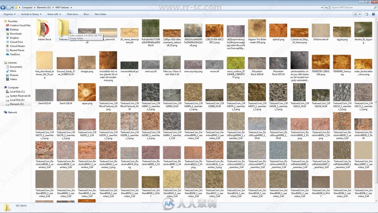
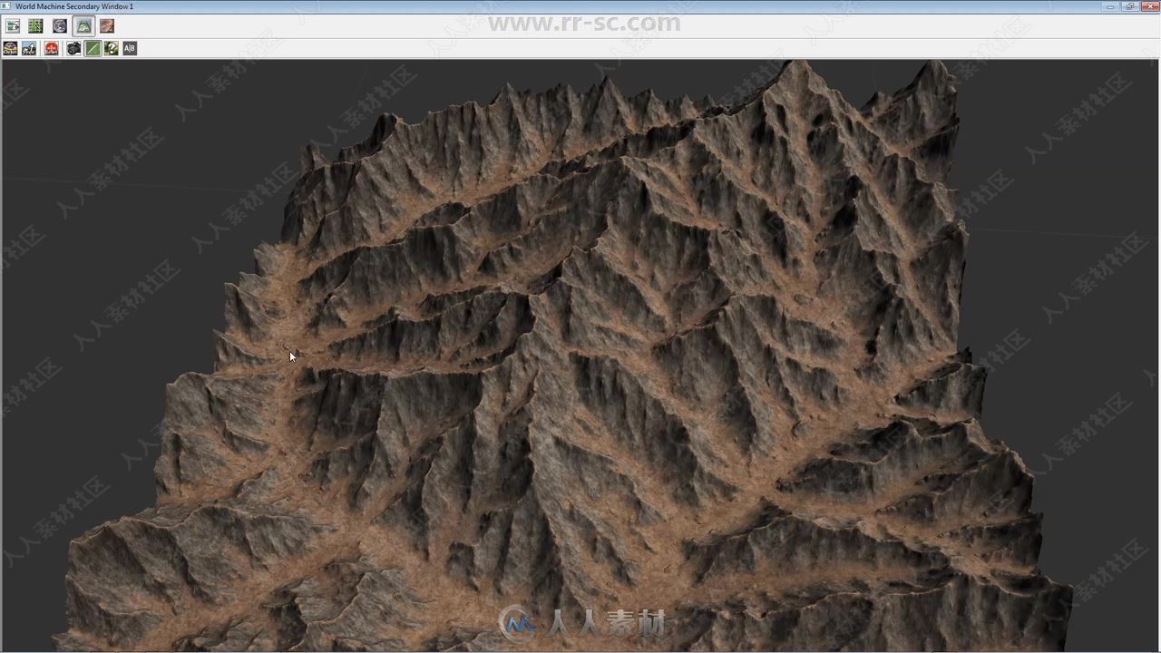
因为我们追求的是真实感,我们将从美国宇航局的卫星图像中对真实地形进行纹理处理,我们将使用来自自然的图像,岩石、地面和草地的图像来对地形进行纹理处理。
如何从Nasa卫星图像创建地形的部分将在另一个课程中介绍。本课程着重于纹理。
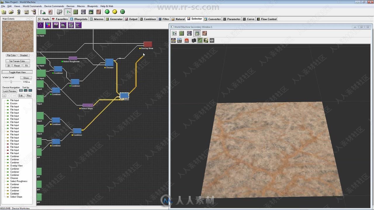
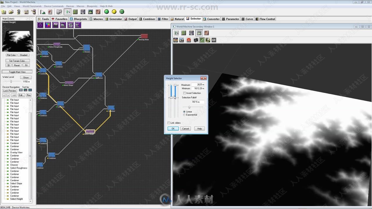
我将向你们展示在哪里可以找到纹理图像,你们需要什么样的图像,如何接近它们,如何处理图像中的问题,以及如何将它们应用到世界机器中,应用到你们地形的不同部分。
没有彩色节点,只有纯自然的图像。
World Machine 是一个程序地形生成器,不同于你用过的任何一款地形生成软件。World Machine 混合了强大的地形效果,拥有图形界面 ,并能快速动态预览,帮助快速准确地创造出各种真实地貌。能够生成雪地,草地、荒原、沙漠、岛屿等地理环境。此软件的高效与便捷用来搭配Unity可说是相得益彰。
更多相关教程请关注:World Machine教程专区,中文字幕教程专区

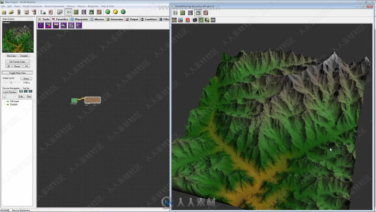
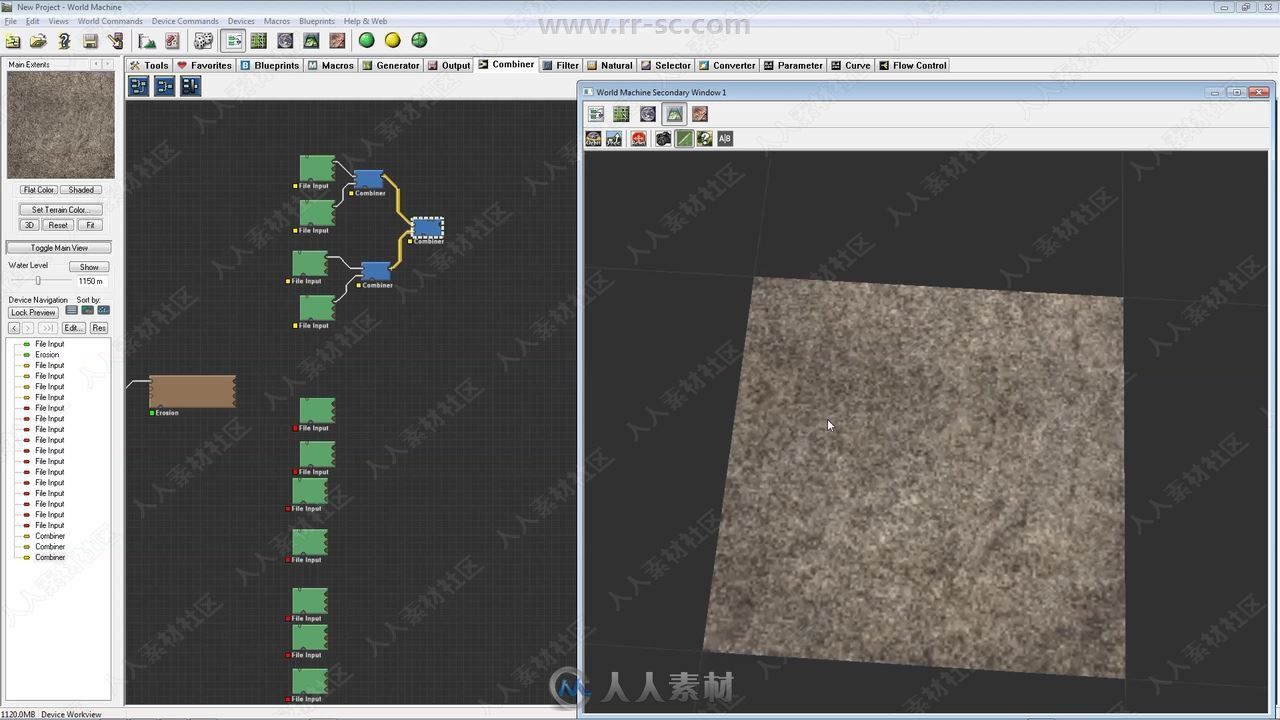
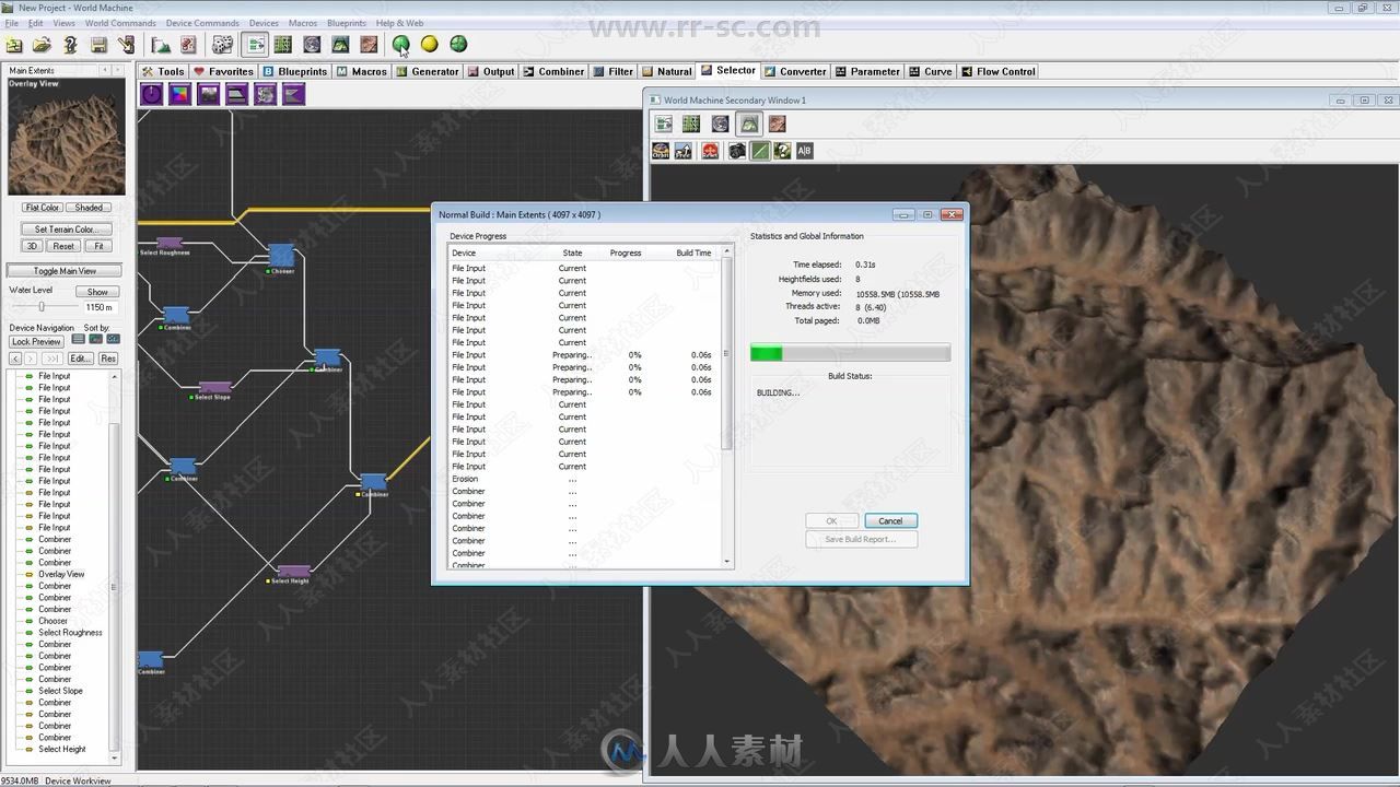
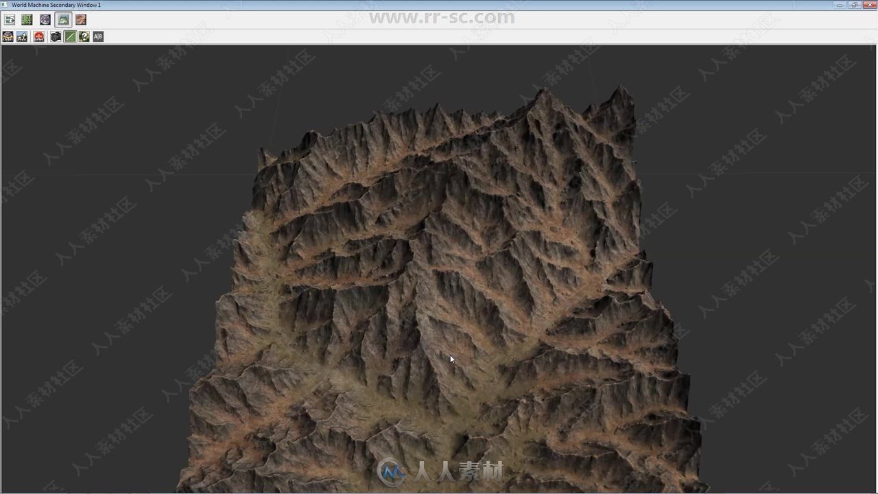
welcome in this course you will learn how to texture terrains using images in World Machine.
Because we’re after realism, We’ll texture a real terrain from the Nasa Satellite images, we’ll use images from nature, images of rocks, ground, and grass to texture this terrain.
The part of how to create terrains from Nasa Satellite images is covered in a different course. This course focuses on texturing.
I will show you where to find texture images, what kind of images you need, how to approach them, how to deal with problems in images, and how to apply them in world machine, to different part of your terrain.
No colour nodes, just pure natural images.


